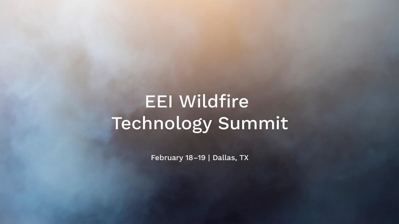
We are a part of the Satellite Imagery and Drone Use panel at the EEI Wildfire Technology Summit in Dallas on February 18.
Steve Hambric, President North America at eSmart Systems, will be part of the panel, together with representatives from Battelle Memorial Institute, ORNL, StormGeo and SharperShape.
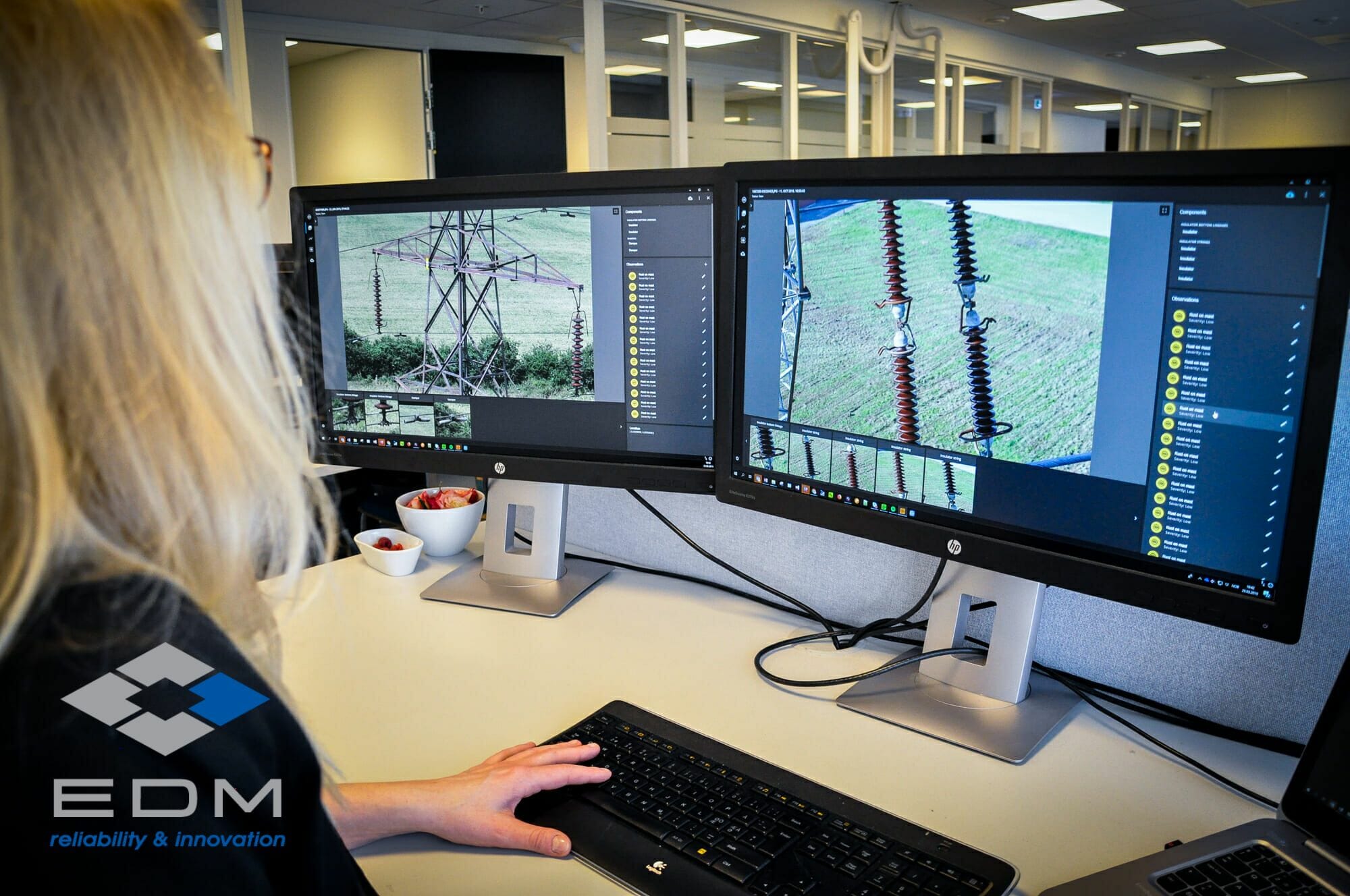
During the panel discussion I will focus on collaborative AI, the efficiency and efficacy improvements of AI in the inspection process, and the use of synthetic data to create algorithms for less common defects
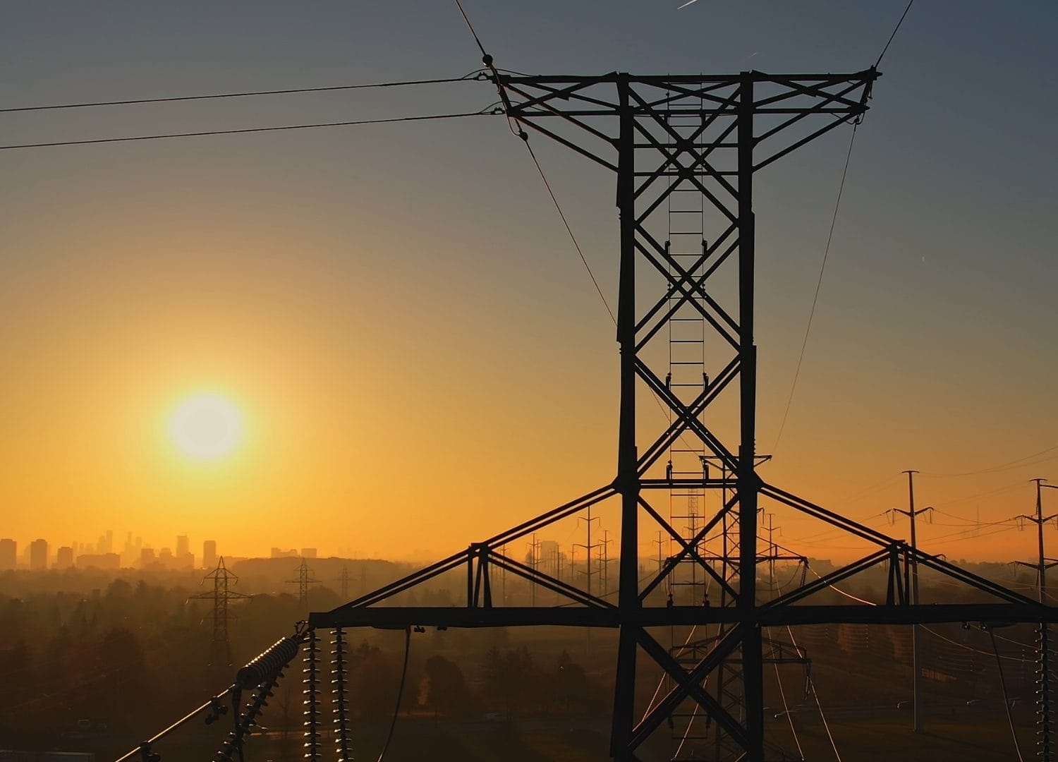
The session will cover an array of solutions and advancements regarding unmanned aircraft systems (UAS) and initiatives related to satellite/geospatial imagery that are now available and/or being applied by electric companies to meet the many challenges around the wildfire threat.
Moderator is Chris Eisenbrey from Edison Electric Institute (EEI).
Utility attendees include PG&E, Xcel, SCE, Oncor, PNM, OG&E among others.
Leverage New Technology
Some areas that will be explored are the application of artificial intelligence (AI) and machine learning; advances in data imagery analytics; federal government and national lab initiatives and activities. In addition to strategies and policies that should be considered that will allow the industry to more fully unleash and leverage the many tools and technologies in this space.
Learn more about EEI Wildfire Technology Summit.
Read also:
Share article
Latest News & Resources
-

Watch our webinar – Disrupting the status quo: AI in utility operations
Watch this webinar to understand why everyone is talking about -

Fingrid advances grid maintenance with conditional analysis using Grid Vision®
May 2025 – Fingrid, Finland’s transmission system operator, has launched -

Could the Iberian Peninsula blackout have been avoided? What it tells us about grid reliability
When large parts of the Iberian Peninsula were plunged into -
Accurate image-based asset data: The key for successfully managing a growing grid and demand
With global electricity demand projected to grow by 4% in